
Top Stories
Winter Storm Warnings Issued as Heavy Snow Hits East Coast

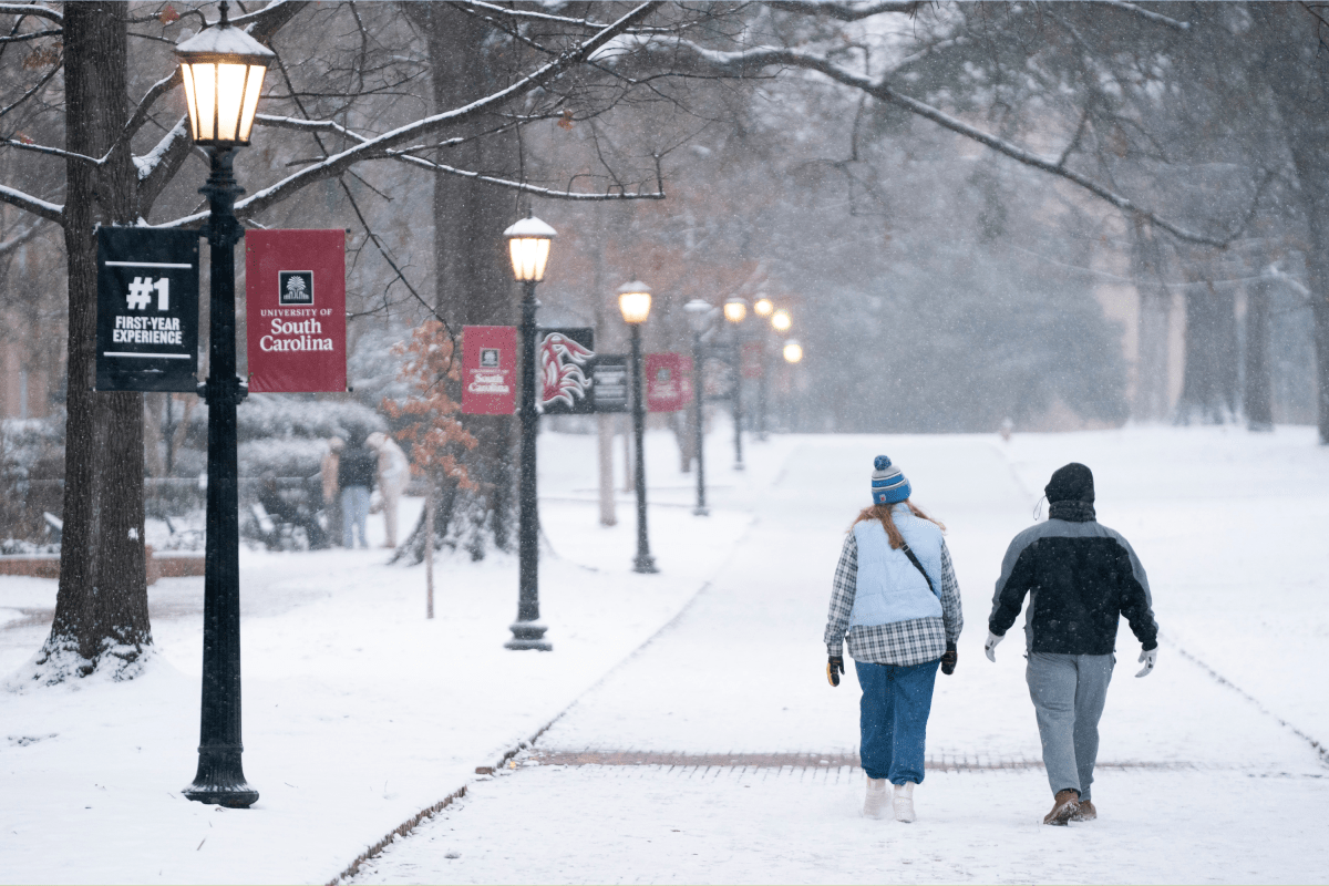
UPDATE: Winter storm warnings are now in effect across four states along the southern East Coast as a significant winter storm unleashes heavy snow and strong winds. The National Weather Service (NWS) has confirmed that regions may experience up to 4 inches of snow along with wind gusts reaching 60 mph, creating the potential for brief blizzard conditions.
URGENT ALERT: Residents in North Carolina, South Carolina, Georgia, and Virginia are advised to exercise extreme caution as hazardous weather is expected to persist until Sunday afternoon. Officials are recommending that those who must travel keep emergency supplies, including flashlights and non-perishable food, in their vehicles.
In North Carolina, the mountains are forecasted to receive around 1 inch of snow along with black ice and gusts up to 55 mph until Sunday morning. The foothills are also likely to see light snow and dangerous conditions. Areas in the eastern Piedmont and Coastal Plain could face up to 2 inches of snow and winds of 35 mph until early Sunday afternoon.
Particularly concerning are Duplin, Onslow, Jones, Craven, Pamlico, and parts of Carteret County, where 2 to 4 inches of snow is expected, with winds gusting up to 45 mph until around noon. This may lead to whiteout conditions, making travel potentially life-threatening. Eastern Carteret County could see winds reach 60 mph, exacerbating the situation into Sunday afternoon.
In South Carolina, light snowfall and black ice are reported in the upstate, particularly affecting the Interstate 77 corridor. Counties like Allendale, Coastal Colleton, and Beaufort may see slippery roads and hazardous travel conditions until Sunday afternoon. Charleston and surrounding areas could face up to 1 inch of snow and winds of 35 mph.
Meanwhile, Georgia is bracing for a light dusting of snow, primarily in the northeast, with black ice and gusty winds causing poor visibility overnight into Sunday morning. Counties such as Jenkins, Screven, and Effingham could receive up to 3 inches of snow by Sunday morning.
In Virginia, up to 2 inches of snow and winds reaching 45 mph are anticipated in south-central and southwest regions until Sunday morning. The southeast may also experience similar conditions, with winds increasing to 55 mph until Sunday evening. The NWS urges all motorists to use extreme caution if travel is absolutely necessary.
As this winter storm develops, authorities are monitoring the situation closely. Stay tuned for further updates on this urgent weather event, and ensure safety precautions are taken seriously.
Stay safe and share this critical information with others who may be affected by the storm.

Urgent Tax Savings Alert: Maximize Deductions Before April 15

Trump’s Administration Faces Uncertainty Over Government Shutdowns

Cosmic Defects: The Mystery of the Universe’s Missing Anomalies

Rapid City Parks Department Opens Registration for Bocce Leagues

Samsung Galaxy Watch 9 to Feature Larger 435mAh Battery Soon

Two Dead After Student Boats Capsize Off Okinawa Coast

Healthy Choice Wellness Reports Earnings with Mixed Results

Prince Harry Positions Himself as Royal Family’s Image Reviver

All Points North Lodge Achieves FSPHP-ETA Accreditation

Send Holiday Parcels for £1.99 with New Comparison Service

University of Hawaiʻi Leads $25M AI Project to Monitor Natural Disasters

Maui County Reopens Upgraded Lānaʻi Fifth Street Courts Today!

Daily Codeword Puzzle Launches on October 21, 2025

Congresswoman Under Fire for Misleading Epstein Donation Claims

Interstellar Object 3I/ATLAS Emits Unique Metal Alloy, Says Scientist

Trump Vows to Resolve Afghanistan-Pakistan Crisis “Very Quickly”

Charles Darwin’s Address Book Reveals Hidden Aspects of His Life

Rediscovering Chrysler: 5 Overlooked Models from the 1980s
-
 Lifestyle8 months ago
Send Holiday Parcels for £1.99 with New Comparison Service
-
Science9 months ago
University of Hawaiʻi Leads $25M AI Project to Monitor Natural Disasters
-
 Top Stories8 months ago
Maui County Reopens Upgraded Lānaʻi Fifth Street Courts Today!
-
 Entertainment10 months ago
Daily Codeword Puzzle Launches on October 21, 2025
-
 Lifestyle9 months ago
Congresswoman Under Fire for Misleading Epstein Donation Claims
-
 Science10 months ago
Interstellar Object 3I/ATLAS Emits Unique Metal Alloy, Says Scientist
-
 Top Stories9 months ago
Trump Vows to Resolve Afghanistan-Pakistan Crisis “Very Quickly”
-
 Science8 months ago
Charles Darwin’s Address Book Reveals Hidden Aspects of His Life
-
 Lifestyle8 months ago
Rediscovering Chrysler: 5 Overlooked Models from the 1980s
-

 Science7 months ago
Understanding Generation Z: Strategies for Engaging the Workforce
-

 Entertainment10 months ago
Kelly McCreary Discusses Future of Maggie and Winston in Grey’s Anatomy
-

 Top Stories8 months ago
aespa Faces Backlash Over G-Dragon Interaction at 2025 MAMAs